
Songdo Point
 | |
| Location | Songdo Point, South Hamgyong Province, North Korea |
|---|---|
| Coordinates | 40°01′54″N 128°19′42″E / 40.03167°N 128.32833°E |
| Tower | |
| Construction | concrete |
| Light | |
| Focal height | 59 m (194 ft) |
| Range | 12 nmi (22 km; 14 mi) |
| Characteristic | L Fl W 7s |
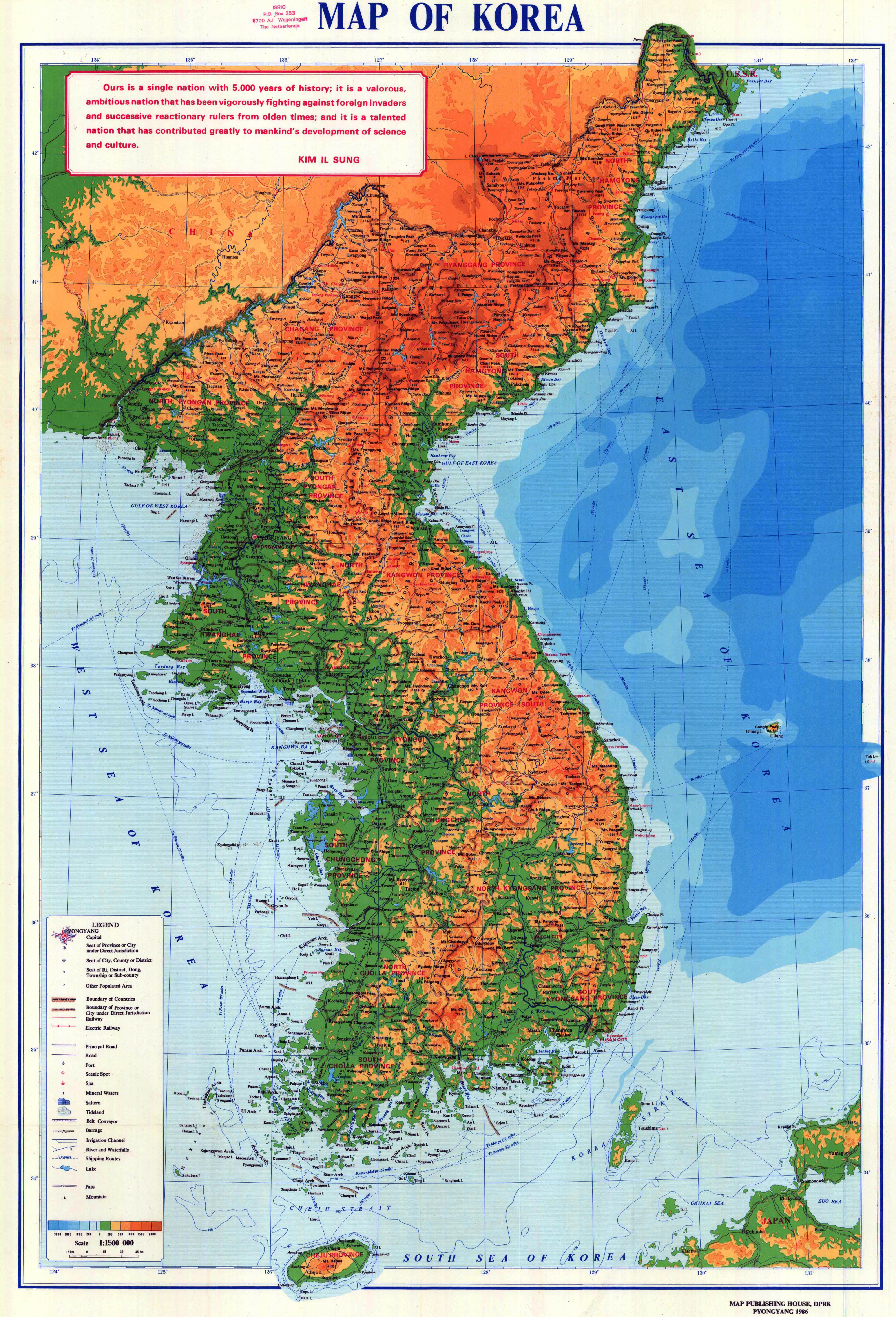
Songdo Point[1] (Korean: 송도갑, 松島岬, "Pine-Island Cape") is a North Korean headland in the middle of the country's eastern coast along the Sea of Japan. It is located in Sinpo in South Hamgyong province.
Names[edit]
Songdo Point is also known by its Korean name Songdo[2] or Song Do Gap.[3] During the Japanese occupation of Korea, it was known as Shōtō-kō.[4]
Geography[edit]
Songdo Point is a dark promontory joined to the coast about 13 miles (21 km) east of Sinpo[5] by a low white[2] sand bar.[5] It has two summits, which can appear to be small islands when observed from a distance.[2] It is the eastern entrance to the Yanghwa Man.[2]
Structures[edit]
There is a 59 m (194 ft) lighthouse on Songdo Point which is active but closed to the public.[5] The American National Geospatial-Intelligence Agency notes, however, that "the existence and operation of all navigational aids should be considered unreliable on the east coast of North Korea".[3]
See also[edit]
References[edit]
Citations[edit]
- ^ DPRK (1986).
- ^ a b c d Sailing Directions (Enroute), Pub. 157: Coasts of Korea and China (PDF). Sailing Directions. United States National Geospatial-Intelligence Agency. 2018. p. 74.
- ^ a b List of Lights, Pub. 112: Western Pacific and Indian Oceans Including the Persian Gulf and Red Sea (PDF). List of Lights. United States National Geospatial-Intelligence Agency. 2018. p. 212..
- ^ OSS (1945).
- ^ a b c Rowlett, Russ. "Lighthouses of North Korea". The Lighthouse Directory. University of North Carolina at Chapel Hill.
Bibliography[edit]
- Korea: Administrative Divisions, Office of Strategic Services, 1945.
- Map of Korea, Pyongyang: Map Publishing House of the Democratic People's Republic of Korea, 1986.
External links[edit]
- "NK 52-11: Sōngjin", AMS Series L552, Washington: Army Map Service, 1954, a topographical map of the area around Musu Point.
40°01′31″N 128°18′35″E / 40.025375°N 128.309670°E
| Authority control databases: Song Do Gap Lighthouse |
|---|